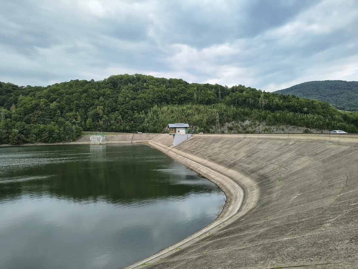
A reservoir on the Soła near Żywiec, created in 1966, up to 6.6 km long and 26.8 m deep, with a hydroelectric power station.
Lake Żywiec, also called the Żywiec Reservoir or the Tresna Water Reservoir, is a retention reservoir on the Soła river near Żywiec. It lies on the border of the Żywiec Basin and the Little Beskids. It was created in 1966, and several villages were flooded during its construction: Zarzecze, Tresna, Zadziele and Stary Żywiec.
At the normal impoundment level the reservoir is at most 6.6 km long and 3.1 km wide.
The length of the shoreline is 33.7 km, and the maximum depth 26.8 m (average 8.6 m). The total capacity is 94.6 million m³. The water is held back by an earth dam 310 m long, and beside it is a hydroelectric power station with a capacity of 21 MW. The reservoir serves tourism, energy production, flood protection and the regulation of inflows to the upper Vistula. Over the years it has been silting up with river sediment and material from shore abrasion, which reduces its capacity.
The shores of the lake are used for recreation, and in August regattas are held in memory of Adam Banaszek.
In 2015, during a drought, the water level fell by about 2 m and exposed large parts of the bed. On 15 November 1978 at a place called Wilczy Jar, near Oczków, two buses carrying miners to the "Brzeszcze" mine fell from a height of 18 m into the water, and 30 people died. A commemorative plaque has been placed by the bridge, and the matter is described in a separate entry, Wilczy Jar.
On the lake lies Żywiec, where the Old Castle in Żywiec stands. In the area there is also Lake Międzybrodzie, and the Żywiec Brewery Museum.


Be the first! Add a comment.
You need to log in to add a comment.
Log in