
The line Korfanty drew after the plebiscite
Two days after the plebiscite of 20 March 1921, Wojciech Korfanty proposed a border favourable to Poland. According to Mirosław Węcki of the Institute of National Remembrance (IPN), the line ran from the Czechoslovak town of Bohumín, partly along the Oder, to a suburb of Opole, and then turned north-east and, in Olesno County, reached the border with the Republic of Poland. The IPN brochure on the uprisings describes it as running from the north through Olesno to Opole, and then south to Racibórz. Other sources name the towns of Racibórz, Gogolin and Olesno.
Korfanty justified it by counting results by municipality: according to the IPN, 903 municipalities, or 77.5 per cent, voted for Poland. In his view Poland should receive 59.1 per cent of the plebiscite area and 70.1 per cent of its inhabitants. This was the position of one side in the dispute, not a finding by a neutral arbiter. We write about the voting results themselves in the article on the plebiscite.
The French, the British and the Italians
Under the Treaty of Versailles, the Inter-Allied Commission was to prepare, on the basis of the results, a recommendation for dividing the region. Differences quickly came to light. According to the IPN, the French, represented by the commission's chairman General Henri Le Rond, were inclined to accept Korfanty's demands, in line with their own interest. The British feared too great an increase in French power at the expense of a weakened Germany and argued for giving Poland only the less industrialised part of the area, that is the counties of Pszczyna and Rybnik and the eastern fringes of Katowice County. The Italians supported the British.
The representatives of the two countries on the commission, Harold Percival and Alberto De Marinis, outlined their own proposal for the division. It entered history as the Percival-De Marinis line. Under this proposal Poland was to receive the Pszczyna and Rybnik area and small fragments of the surroundings of Katowice and Lubliniec, while the rest, with the largest share of industry, would be left to Germany. The French plan provided for Poland to receive the whole eastern part of the region, as far as Strzelce in the west, together with the industrial district, which was not much less than Korfanty wanted.
In April 1921 Le Rond sent the Council of Ambassadors both mutually exclusive concepts: the British-Italian one and the French one. The Council did not arrive at a common position. Negotiations, as the IPN writes, went on throughout April and did not calm moods in Upper Silesia.
The uprising as an argument in the dispute
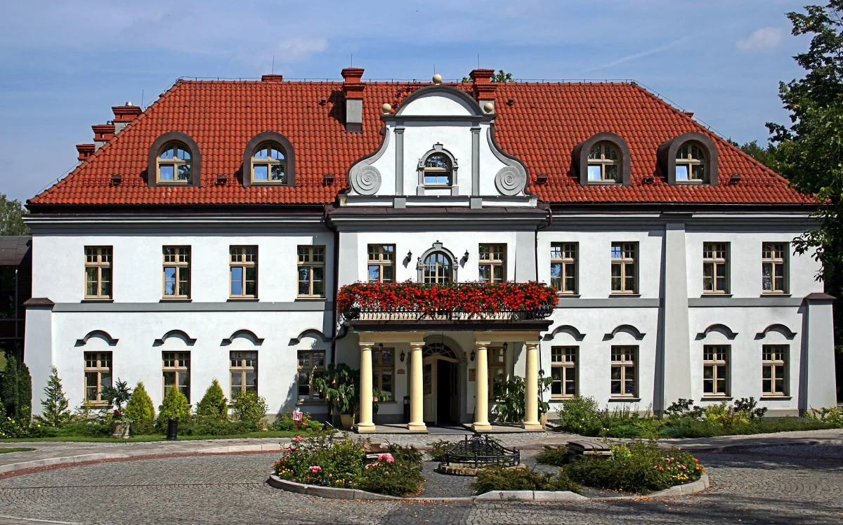
In this situation the Polish side decided on a third uprising. According to the IPN, Korfanty, who was reluctant about an uprising, agreed to one in the form of an “armed demonstration” meant to show the Allies the will of the Upper Silesians. The uprising was to take part of the region as far as the Korfanty line. It began in the night of 2 to 3 May 1921, and earlier, on 28 April, a secret meeting took place in Czarny Las between Korfanty, Daniel Kęszycki, the Polish representative at the commission, and General Le Rond. Mirosław Węcki notes that it is not known what exactly the interlocutors agreed. You can read about the village itself on the page for the palace in Czarny Las, where Polish underground activity took place during the uprisings.
The course of the fighting is described in separate articles on the uprisings. For the border question, what matters is that the IPN ascribes a political effect to the uprising: the Allies decided to award Poland a larger part of the region than they had intended immediately after the plebiscite. The fighting ended with the truce of 5 July 1921, to which, according to the IPN, the Germans were forced by the Allies.
The decision and the border of 1922
In view of the impasse between the powers, the matter was passed to the Council of the League of Nations, which issued in October 1921 a verdict on the division of the region, approved by the Council of Ambassadors. The final division took place in June 1922, and the area awarded to Poland was made into the autonomous Silesian Voivodeship.
The sources give different measures of what Poland received. The IPN writes of about one third of the disputed territory, which contained most of the Upper Silesian mines and steelworks. Other sources give 29 per cent of the area and 46 per cent of the population of the plebiscite area, and figures: of 91 mines Poland received 72, of 27 steelworks 23. Poland also received towns that had voted for Germany in the plebiscite, including Katowice, Królewska Huta, Pszczyna, Rybnik, Mysłowice, Mikołów, Żory and Tarnowskie Góry. Among those that remained in Germany were Bytom, Zabrze, Gliwice, Opole and Racibórz.
The border cut through an integrated industrial basin, so marking it out on the ground was completed only in 1923. Minority matters and traffic across the border were regulated by the Geneva Convention of May 1922.
Traces in Katowice
The memory of these events has been preserved by monuments. In Katowice stands the Wojciech Korfanty Monument of 1999 on Silesian Parliament Square, and the wings of the Monument to the Silesian Insurgents commemorate the uprisings of 1919-1921.
Be the first! Add a comment.
You need to log in to add a comment.
Log in