

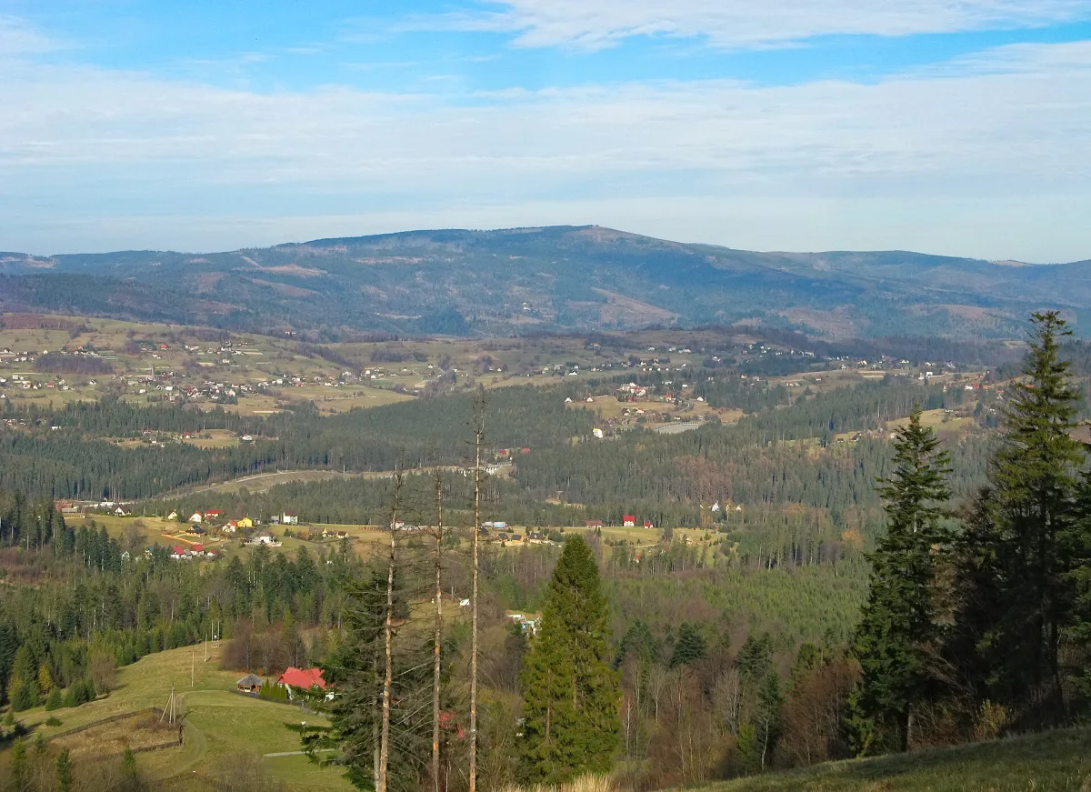
Above Bielsko-Biała and Szczyrk rises a ridge carrying two neighbouring peaks of the Silesian Beskids. Szyndzielnia is about 1,028 metres high (sources also give 1,029 m) and lies just north of Klimczok, which reaches 1,117 metres. Both belong to the Klimczok and Szyndzielnia Range, and they are linked by a trail that takes less than an hour on foot to get from one summit to the other.
Where the names come from
Szyndzielnia used to be called Szyndzielny Groń. At the beginning of the 18th century Andrzej Komoniecki wrote of Szędzielny Groń by the Bielsko forest. The name comes from the word szyndzioł, which highlanders used for a wooden shingle: the inhabitants of Kamienica and Olszówka Górna, villages at the foot of the mountain, made shingles for Bielsko from the wood of its slopes. The Germans called it Kamitzer Platte, that is the Kamienica Plate, after the flat area below the summit.
As late as the early 19th century Klimczok was called Gorzyczna Skałka (Bitter Rock) or simply Skałka. Below the summit, on the western slopes, runs a system of ridge-top trenches and rock fissures with several small caves. According to local legends the largest of them, 26 metres long, was supposed to be the hideout of a brigand from the Żywiec-Silesian borderland named Klimczok. In the Romantic era the present name of the peak was supposed to have come from him. This is, however, a legend and not an established historical fact.
A border on the summit
Through the summit of Klimczok runs the administrative boundary between Bielsko-Biała and Szczyrk, as well as the old historical border between Silesia and Lesser Poland. Along the ridge of Szyndzielnia, in turn, runs the boundary between Bielsko-Biała and the village of Bystra. The whole massif lies in the Silesian Beskids Landscape Park. Klimczok is a junction of ridges: one descends gently north towards Szyndzielnia, the other heads east towards Magura. At the Kowiorek saddle between Klimczok and Magura, trails cross leading to Szczyrk, Bystra, Brenna, the Salmopol Pass, Karkoszczonka, Szyndzielnia and Błatnia.
Mountain huts with fires in their past
The history of the huts on both peaks begins with fire. In 1869, on the ridge of Magura, on the order of the chief forester of the Łodygowice estate, a wooden building was erected and named Klementynówka after the owner of the estate. It served mainly hunters. The Beskidenverein of Bielsko extended it in 1894-1895 for hikers, but during the opening on 5 May 1895 the building burned down. Rebuilt, it burned again in 1910 and 1913, so in 1914 a new one was built, of stone masonry, which with small changes stands to this day. The PTTK mountain hut on Klimczok lies at an altitude of 1,052 metres, about 700 metres east of the summit itself.
After the fire at Klementynówka, the Bielsko section of the Beskidenverein decided to build a second hut, this time below Szyndzielnia. Construction began in 1896, and it opened on 18 July 1897. The mountain hut on Szyndzielnia stands at an altitude of 1,001 metres, to a design by the activist Wilhelm Schlesinger, in masonry-and-timber construction, with a turret modelled on Alpine huts. Sources call it the first hut in the Silesian Beskids or the first masonry hut in this range, and some remember the older Klementynówka. It is therefore more sensible to speak of the first masonry one.
In 1945 both buildings found themselves near the front line. In early February 1945 Soviet artillery shells hit the hut on Szyndzielnia several times: one pierced the roof and exploded in the kitchen, another destroyed the staircase, and the turret was wrecked. The hut on Klimczok, near which no fighting took place, came out of the war without major damage. In both, the furnishings were looted afterwards.
A gondola ride and a plant garden
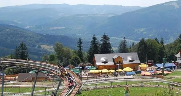
Since 1953 a gondola lift has reached the top of Szyndzielnia; it was modernised in 1994-1995 and in 2017. The lower station, the Szyndzielnia Cable Car, is in Bielsko's Olszówka district. By the upper station stands an eighteen-metre observation tower, opened on 14 August 2015.
Just below the hut is an alpinarium of about 400 square metres. It was founded in 1905 by the Bielsko museum curator and naturalist Edward Schnack, and plants from the Beskids and the Eastern Alps were gathered in it. Over the years the garden fell into decline, in early 2010 access to it was banned, and after renovation it was reopened on 13 October 2011. The Bielsko Forest District took over its care and included the alpinarium in the route of an educational nature trail.
The nature of Klimczok
On Klimczok grows the Moravian monkshood, which is rare in Poland. In the Biła forest section, on the north-eastern slopes, stands a group of trees exceeding 45 metres in height, and one of the Douglas firs reached about 57 metres in early 2018. Snow usually lies here from early November to early May, and the greatest snow cover, 305 centimetres, was recorded on 14 March 1993. A wooden triangulation tower used to stand on the summit; it was dismantled after the 1970s, and because of the growing trees the view is limited to the south-eastern sector, with the Tatras above the ridges of the Żywiec Beskids.
On the trail from Szczyrk
Klimczok can also be reached from Szczyrk. On the northern edge of the town, on a rise called Górka, stands the Marian Shrine on Górka, by the trail leading towards Klimczok. On the Bielsko side, in Wapienica, from where a trail also leads to Szyndzielnia, lies the Jaworzyna nature reserve, protecting mountain sycamore woods and beech forests.
Be the first! Add a comment.
You need to log in to add a comment.
Log in