
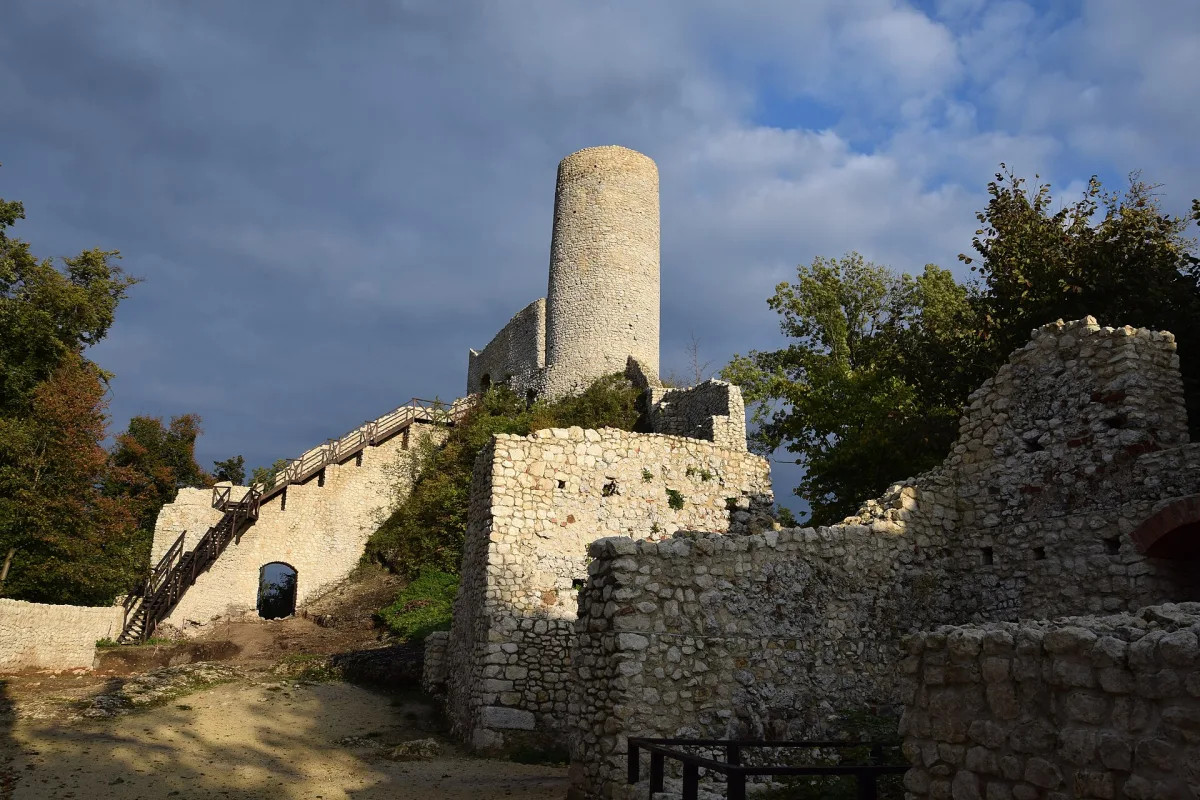
The Trail of the Eagles' Nests leads from Kraków to Częstochowa across the Kraków-Częstochowa Upland and is 163.9 km long. It is a red hiking trail, but the first red trail in the Jura was marked out in 1930 and ran quite differently. The history of the trail is the history of two ideas, of which the second was finally adopted.
The idea of 1927 and the first trail
Marking out a trail across the highest elevations of the Jura was proposed in 1927 in the magazine “Ziemia” by Stanisław Leszczycki, a geographer and popularizer of regional studies. In 1930 a red trail was marked out, but it was not yet the route from Kraków to Częstochowa. It set out from Kraków, made an arc in its north-western surroundings through the Ojców Plateau and the Tenczyn Ridge and returned to Kraków. It had many scenic and sightseeing merits, but nobody maintained or renewed it afterwards, so after some time the markings stopped being visible.
The new project of 1948 and marking out in 1950
The project of a new trail was announced in 1948 by Kazimierz Sosnowski, a well-known tourist and regional expert. It was marked out two years later, in 1950, with money obtained from the Ministry of Communications. Since then the route has been changed and corrected many times, so that it would lead through the most scenically attractive areas of the upland. For that reason today's route is not a copy of the trail of 1950. Detailed changes to the route should be looked for on a current map.
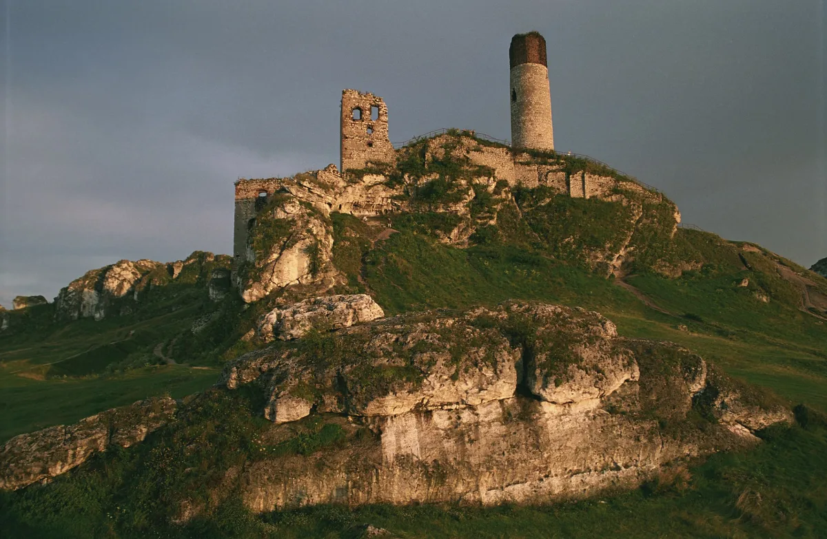
The name derives from the castles. They are Jura castles and strongholds built on rocks up to 30 metres high, and built mainly of limestone in the 14th century. They were part of the defence system of the border of the Crown towards Silesia under Casimir the Great (see Bobolice Castle).
Where it runs today
The trail is marked in red. Along the route, in order from Kraków, lie: Korzkiew, Ojców, Pieskowa Skała, Rabsztyn, Bydlin, Smoleń, Pilica, Ogrodzieniec, Morsko with the ruins of the Bąkowiec castle, Bobolice, Mirów and Olsztyn. Some sources add to the trail also Tenczyn, Lipowiec, Siewierz and Wawel, so the boundary of the “eagles' nests” is understood in different ways. In our database the following lie on the trail, among others: the castle in Pilica, the castle in Smoleń, the ruins of Ogrodzieniec, the castle in Morsko, the castle in Mirów and the castle in Olsztyn. Among the additional ones, the ruins of the bishops' castle in Siewierz are mentioned.
The Kraków - Ojców section belongs to Lesser Poland, and the trail enters Ojców National Park there. In the Silesian Voivodeship the landmarks are Ogrodzieniec, Podzamcze, Morsko, Mirów, Bobolice and Olsztyn. The trail ends in Częstochowa, and in the Silesian section it crosses the area of the Eagles' Nests Landscape Park. The park protects, among others, three main rock ridges: Smoleń-Niegowonice, Zborów-Ogrodzieniec and Mirów-Olsztyn.
The cycling version and watchtowers on the route
The cycling version is the Eagles' Nests Cycling Trail. It is a red trail 189.61 km long, and the official description calls it technically and physically demanding, with asphalt, dirt, gravel, sand and stony sections. It follows a similar route to the hiking trail, but through other places: it passes, for example, the Przewodziszowice Watchtower and the Suliszowice Watchtower, which the hiking trail does not mention. For families with children the easier sections are recommended, among others to the castles in Mirów and Bobolice, mostly closed to car traffic.
The stages of the trail can be planned with access by rail: according to the description of the cycling version, stations lie in Krzeszowice, Olkusz and Zawiercie, and both ends of the route, Kraków and Częstochowa, are well connected. Before setting out, check the current route on the PTTK map, because the route has been changed many times.
Be the first! Add a comment.
You need to log in to add a comment.
Log in