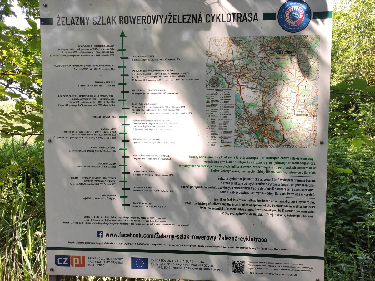
Cycle loop on the Polish-Czech border, 43.1 km long, largely on former railway tracks.
The Iron Cycle Route is a circular route on the Polish-Czech border, laid out for the most part along former railway beds. The loop is 43.1 km long: 25.5 km on the Polish side and 17.6 km on the Czech side.
On the Polish side the route runs through Gołkowice, Godów, Jastrzębie-Zdrój (Szotkowice, Moszczenica and Ruptawa) and Zebrzydowice, and on the Czech side through Karviná, Karviná-Louky and Zawada. Between Godów and Jastrzębie-Zdrój 3.3 km of the route follows the old bed of railway line no. 159, and between Jastrzębie-Zdrój and Zebrzydowice 3 km follows the old bed of line no. 170.
In Gołkowice the route passes the historic wooden Church of St Anne, and in Karviná a palace and a church. In the Godów municipality, by the route, stands the Church of St Joseph the Worker.
Passenger services on the lines linking Jastrzębie-Zdrój with Wodzisław Śląski and Zebrzydowice were suspended on 1 June 1997, and after 2000 freight traffic also ceased. The idea of a cycle route on this basis was put forward in early 2016 by the then head of the Godów municipality. The first stage was opened on 21 September 2018, the second on 10 September 2020.
On the part of the route along the former railway bed there are 5 rest points, including one covered in Szotkowice. The central point is the Green Bridge Station (Stacja Zielony Most), a recreation spot by the bridge over ulica profesora Ranoszka and the Szotkówka river. Since 2022 there have been two electric bike charging stations along the route.

Be the first! Add a comment.
You need to log in to add a comment.
Log in