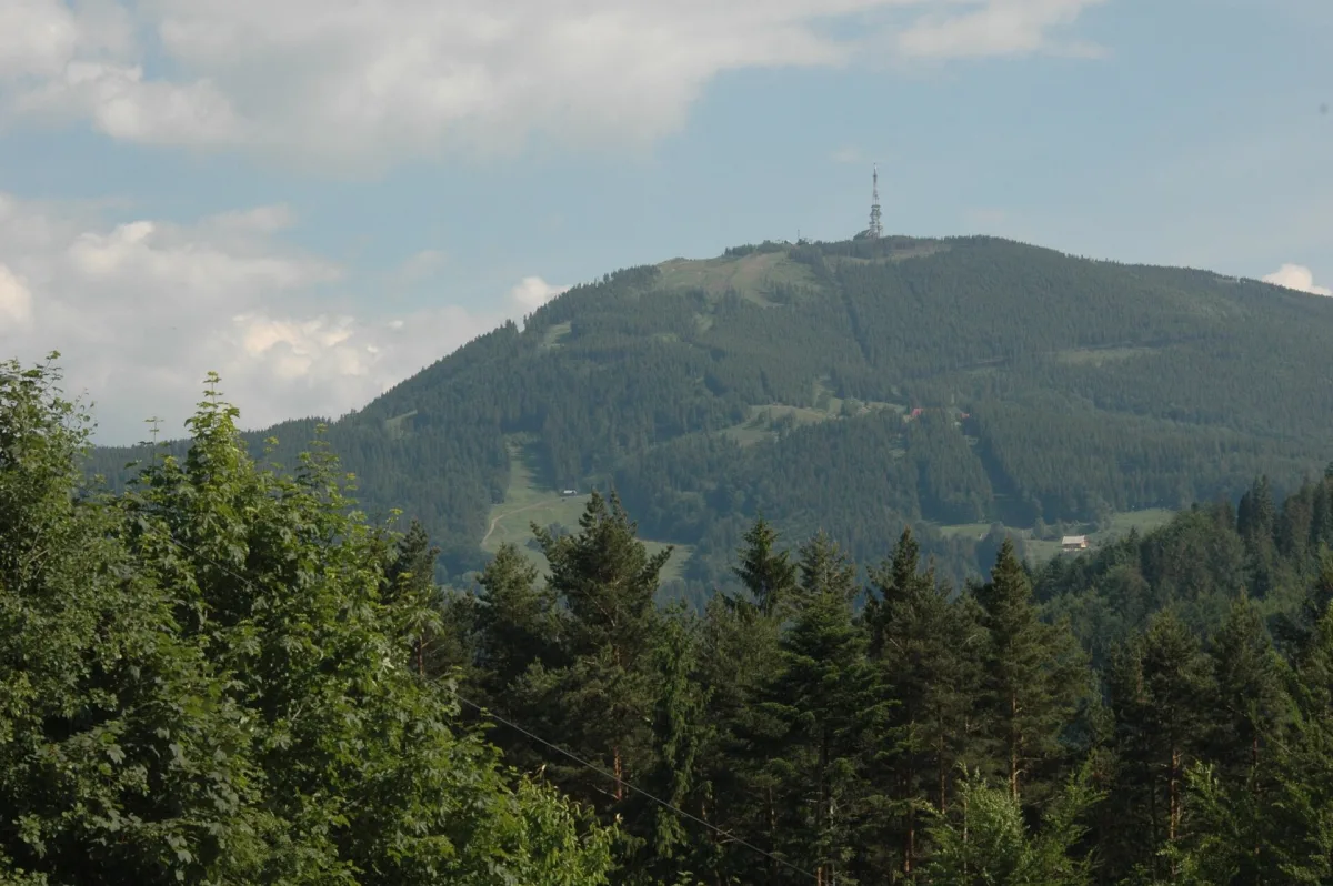
The highest peak of the Silesian Beskids (1,257 m above sea level) above Szczyrk, with a chairlift, a PTTK mountain hut, a radio and TV mast and ski runs.
Skrzyczne is 1,257 m above sea level and is the highest peak of the Silesian Beskids. It belongs to the Crown of Polish Mountains. The mountain rises above Szczyrk, at the northern end of the main ridge of the Barania Góra and Skrzyczne range, and from the town a chairlift goes up it. Right below the summit stands the PTTK (Polish Tourist and Sightseeing Society) mountain hut, and the mountain itself is topped by a radio and television transmitter mast.
The Skrzyczne massif separates the valley of the upper Żylica from the Żywiec Basin. It falls towards the basin in very steep slopes, and from the basin side the mountain shoots up in a single block almost 800 metres high. Thanks to its characteristic outline and the mast on the summit it is easily recognisable from many places, for example from the Żywiec Beskids and from the Tatras. The slopes lie within the boundaries of the town of Szczyrk and the villages of Słotwina and Lipowa.
The massif is built of thick layers of Godula sandstone. Since the end of the 1960s about 20 small fissure caves and rock shelters have been discovered on the slopes. The largest of them, the Spider Cave (Jaskinia Pajęcza), has 61 m of passages, but its entrance has collapsed and the cave is inaccessible today. On Skrzyczne there also grows the Moravian form of the Aconitum firmum (tojad mocny morawski), a plant rare in Poland.
Several walking trails lead to the summit: from Szczyrk Centrum via the Jaworzyna meadow or via the Becyrek pass, from Szczyrk Górny, from Buczkowice via the Siodło pod Skalitem saddle, and from Ostre. A trail also runs through Skrzyczne from the Salmopol Pass via Malinowska Skała, and then along the ridge to Barania Góra. Check the trail colours and walking times on a current tourist map.
A more convenient way is the two-section "Skrzyczne" chairlift from Szczyrk, whose construction was completed in 1958. Its opening greatly increased tourist traffic on the summit. Check the details of operation and opening with the operator, because they depend on the season.
The Skrzyczne PTTK mountain hut lies just below the summit, at an altitude of 1,250 m. The first wooden hut was built around 1933 by Rudolf Urbanke, but in the mid-1930s it burned down and the owner built a new, larger one. After the Second World War the building was destroyed, and after renovation it was opened in June 1950. Since the end of 1950 it has belonged to the PTTK. After a general renovation at the end of the 1990s it has 29 beds, three dining rooms and a buffet on the viewing terrace, which operates only in summer. You will find more about the building in the entry on the PTTK Mountain Hut on Skrzyczne.
On the summit, since the end of the 1990s, there has stood an 87-metre radio and television transmitter mast. Nearby are a paddling pool for children, a climbing wall, a shooting range and a sports pitch.
On the slopes of the mountain run the ski runs of the COS centre, including an FIS run, with a total length of about 14 km. In summer cyclists ride down on downhill trails, and the eastern slope is a launch site for paragliders. The name of the mountain, according to a tale recorded in the 18th century in the "Żywiec Chronicle" ("Dziejopis Żywiecki"), comes from the croaking (skrzeczenie) of frogs that were said to live in a pond in the hollow between Skrzyczne and Mały Skrzyczne.

Be the first! Add a comment.
You need to log in to add a comment.
Log in