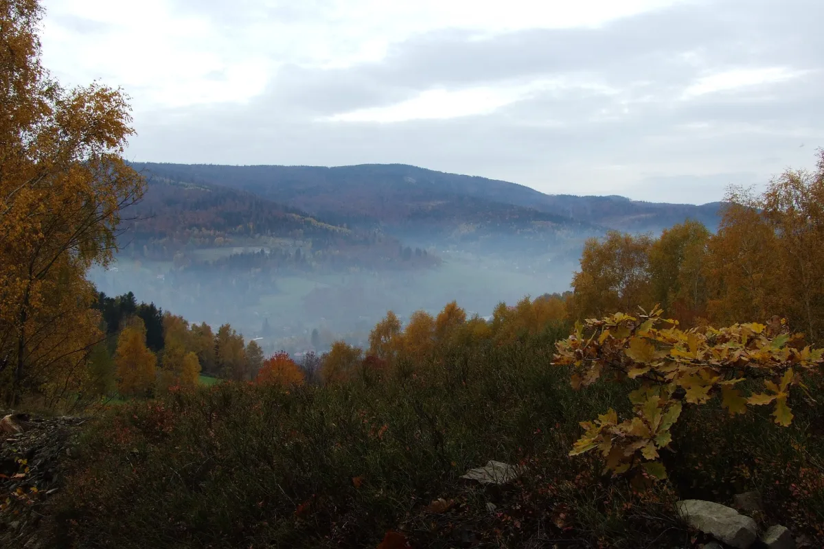
A park established in 1998, covering the main ranges of the Silesian Beskids and eight nature reserves in thirteen municipalities.
The Silesian Beskids Landscape Park was established on 16 June 1998. It covers 386.20 km² in the Silesian Beskids, and a further 222.85 km² of buffer zone lies around it. It is managed by the Complex of Landscape Parks of the Silesian Voivodeship.
The park extends across thirteen municipalities, among them Bielsko-Biała, Szczyrk, Węgierska Górka, Milówka, Istebna, Wisła, Ustroń, Brenna, Buczkowice, Goleszów, Jaworze, Lipowa and Radziechowy-Wieprz. For this reason there is no single entrance: its parts are reached from several places, and around Szczyrk, Wisła or Brenna it is the park that forms the backdrop of the landscape.
Within the park lie the main ranges of the Silesian Beskids: Czantoria, Barania Góra, Klimczok, Równica, Skrzyczne and Stożek Wielki. In the Brenna area is the Salmopol Pass, and not far away Skrzyczne, which is listed among the ranges of the park.
Eight reserves operate within the park: Barania Góra (383.04 ha, established in 1953), Czantoria (97.71 ha), Dolina Łańskiego Potoku (46.89 ha), Jaworzyna (40.03 ha), Kuźnie (7.22 ha), Stok Szyndzielni (54.96 ha), Wisła (17.61 ha) and Zadni Gaj (6.39 ha). The reserves have separate protection rules, so check them with the manager before leaving the main trails.

Be the first! Add a comment.
You need to log in to add a comment.
Log in