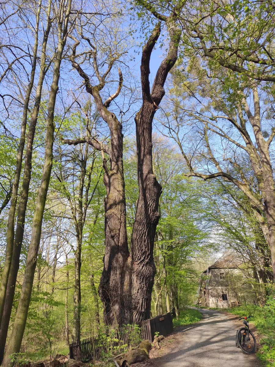
A red PTTK trail from Będzin to Krzanowice through Bytom, Tarnowskie Góry, Zabrze, Gliwice and Racibórz, marked out in 1959.
The Polish Hussars Trail is a red marked hiking trail in the Silesian Voivodeship, running from Będzin to Krzanowice. It is about 154 km long and is maintained by PTTK (Polish Tourist and Sightseeing Society).
The trail was marked out in 1959 by the Bytom Branch of PTTK to mark the 276th anniversary of the march of Polish troops to Vienna. The originator was Father Jerzy Pawlik, a guide and local-studies enthusiast well known in the region. The name refers to the decisive role of the Polish hussars in the Battle of Vienna, in which King John III Sobieski was in command.
The route starts at Będzin Miasto station and ends on the market square in Krzanowice. On the way it passes through Bytom, Siemianowice Śląskie, Piekary Śląskie, Tarnowskie Góry, Zabrze and Gliwice, and then through Nieborowice, Pilchowice, Stanica and Rudy. Places along the route include the Łężczok nature reserve. The trail continues to Racibórz and Pietrowice Wielkie.
In Żernica, through which the trail passes, stands the Church of St Michael the Archangel.

Be the first! Add a comment.
You need to log in to add a comment.
Log in