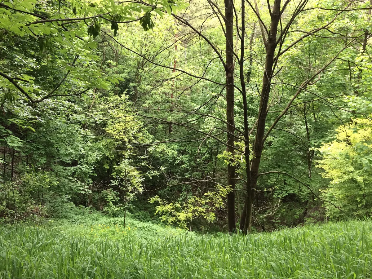
A nature and landscape complex on the site of a former iron ore mine in Piekary Rudne, with an educational trail.
Doły Piekarskie (the Piekary Pits) is a nature and landscape complex in the south-eastern part of Tarnowskie Góry, in Piekary Rudne, right on the border with Bytom and Radzionków. It covers the summit and northern slope of Sucha Góra (352 m above sea level) and the area of a former iron ore mine.
From 1890 until the early 20th century an open-cast mine for brown iron ore (limonite) and dolomite operated here. After extraction, sinkholes, valleys, steep ridges, hillocks and ravines were left, and the differences in level reach more than ten metres in places. In the early 1960s the workings were partly afforested, but for the most part the forest developed naturally. Towards the end of the war a fragment of a German defensive line with reinforced-concrete firing positions, known as kochbunkers, was built on the elevations.
The complex was established by a resolution of 4 October 2006 of the City Council of Tarnowskie Góry. It is covered by a forest close to oak-hornbeam forest, with hornbeam, small-leaved lime, birch, maple, pedunculate oak, and pine and larch. On the slopes there are grasslands with protected species, among others stemless carline thistle and broad-leaved helleborine. In one of the depressions there is a small pond with reedbeds, where amphibians and birds live.
In 2007 an educational trail was marked out, with five boards on the natural value of the complex. On the summit of Sucha Góra stands the stone head of the zero point of the Prussian geodetic network “Trockenberg”, established in 1854-1857. On the Bytom side it adjoins the “Suchogórski Labirynt Skalny” (Sucha Góra Rock Labyrinth) complex.

Be the first! Add a comment.
You need to log in to add a comment.
Log in