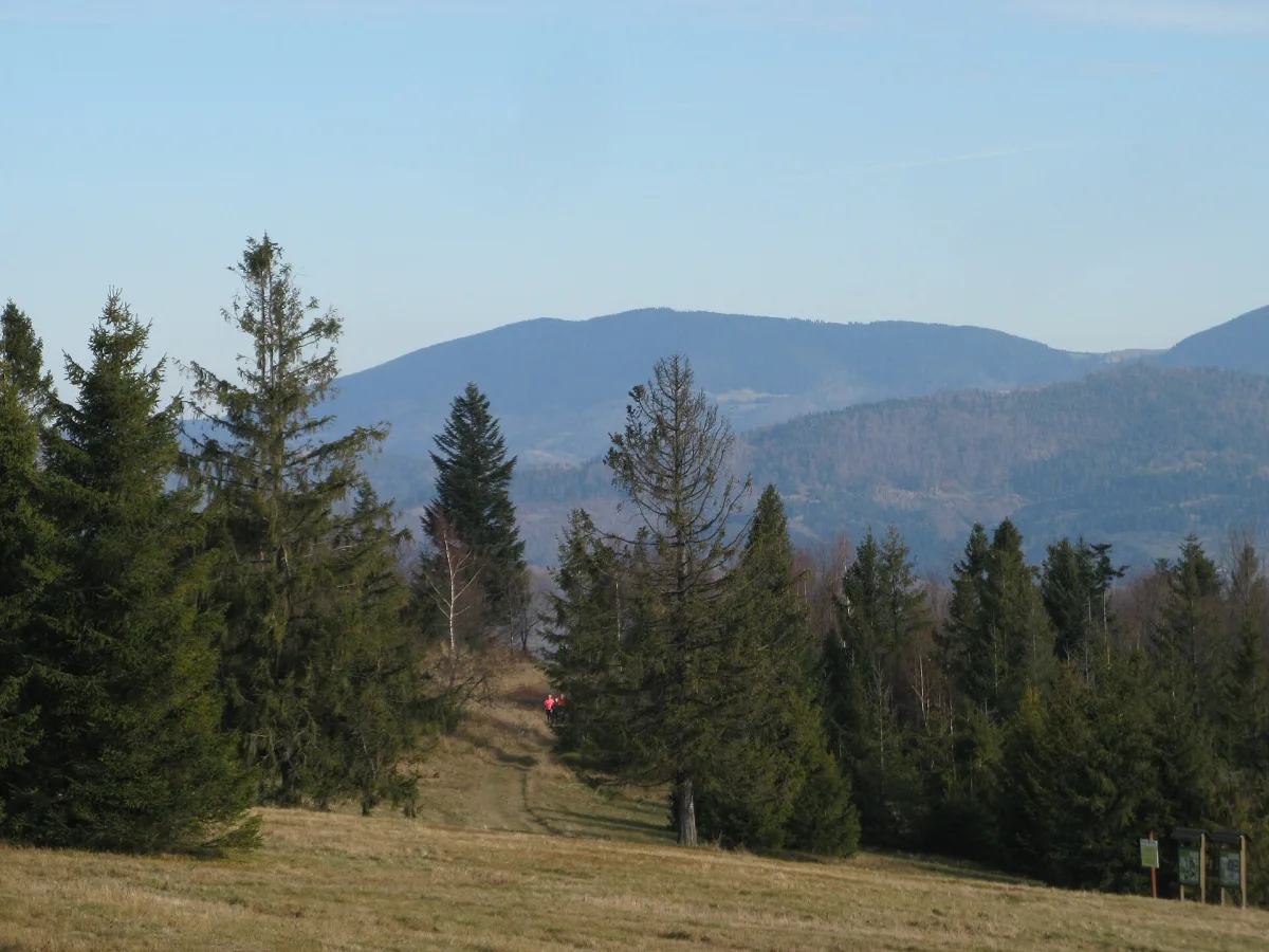
A peak of 1,366 m above sea level in the Żywiec-Orava Beskids above Sopotnia and Żabnica, with a forest summit without views and several trails leading to it.
Romanka is 1,366 m above sea level and is the highest peak of the Lipowski Wierch and Romanka Group in the Żywiec-Orava Beskids. It rises above Żabnica and above Sopotnia Mała and Wielka. The summit is covered by dense forest and has no views, but the massif itself, its history and the trails leading to it give enough reasons for a trip.
The peak rises almost 1,000 metres above the floor of the Soła valley (about 370-380 m above sea level), the greatest such height difference in the Żywiec Basin. Romanka is separated from neighbouring Rysianka by the Pawlusia pass (1,176 m).
Romanka is a junction of two ridges: to the north-west runs the ridge to Skała, to the north-east the one to Kotarnica. The valleys of three streams cut into its slopes: Romanka, Sopotnianka and the W Ciemnem stream. On the western side the summit slope falls away in rock cliffs.
Almost all the slopes are covered with forest, and in the upper montane zone the stand consists mainly of spruce. The upper montane forest is very exposed to wind here and has been damaged by hurricanes. In the lower montane zone grow beech, fir, sycamore and rowan. Since 1963 the summit area has been protected as a reserve, in order to preserve one of the last fragments of the Carpathian primeval forest.
Centuries of settlement created clearings used as pastoral meadows, among them Hala Wieprzska and Hala Łyśniewska. On the slopes of the mountain is the Cave in Sopotnia Wielka, whose passages total 101 m in length. Among the animals found in the area are the wolf, lynx, red deer, wild boar and capercaillie.
The name of the peak was already known in the 17th and 18th centuries to Andrzej Komoniecki, author of the “Chronography, or History of Żywiec”. Romanka was among the first peaks of the Żywiec Beskids to be visited by tourists: in 1894-1899 the German Beskidenverein marked a trail from Jeleśnia over Romanka to Węgierska Górka. Below the summit stood a shelter for skiers, destroyed at the end of the First World War, and on the top there was once a triangulation tower.
During the Second World War the slopes of Romanka gave shelter to partisan units. Among others, the “Romanka” unit operated here.
There are four ascents of the peak, with approximate one-way times: from Sopotnia Mała via Kotarnica (3:15 h), from Sopotnia Wielka via Kotarnica (2:50 h), from Bystra via the “Słowianka” tourist station and Suchy Groń (3:35 h), and from the Rysianka meadow via the Pawlusia pass (1 h). Five hiking trails and the Papal Trail pass through the summit.
The shortest approach begins at the hut on the Rysianka meadow, so it is good to combine Romanka with Rysianka.

Be the first! Add a comment.
You need to log in to add a comment.
Log in