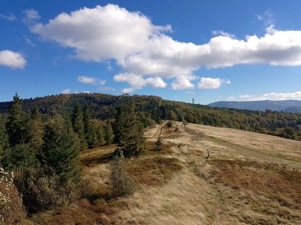
A peak of 917 m above sea level in the Silesian Beskids with a lookout mound, a panorama of Skrzyczne and Barania Góra, and a PTTK mountain hut from 1926.
Błatnia (917 m above sea level) is a peak in the Klimczok and Szyndzielnia Range in the Silesian Beskids, on the border of Bielsko-Biała, Jaworze and Brenna. On the summit stands a lookout mound with one of the few full, all-round panoramas in this part of the Beskids, and right next to it is a PTTK mountain hut, an important trail junction.
Błatnia is an unremarkable rise on the ridge, rising less than 4 km west of Klimczok. It is the junction point for the arm of Czupel, Łazek and Zebrzydka and for the fork of Przykra, Wielka Polana and Palenica. Most of the slopes are covered with mixed or beech forest, but on the summit and the southern slopes there runs a series of clearings that were used for traditional grazing until the Second World War. The largest is the summit clearing Stołówka.
The name has a longer history: in 1571 German documents recorded it as Berg Blatin, and later Czech ones as Blatny or Blatna. At the end of the 20th century the name Błotny also appeared in guidebooks, but in the State Register of Geographical Names it is listed as Błatnia.
From the mound on the summit almost the whole of the Silesian Beskids can be seen. To the east rises the Klimczok massif, to the right of it Skrzyczne (1257 m), the highest peak of the Silesian Beskids, and beyond it the ridge of Barania Góra (1220 m). To the south-west the peaks of the Moravian-Silesian Beskids and Lysá hora (1323 m) can be seen, and in good visibility sometimes also the summits of the Lesser Fatra in Slovakia.
On the northern side the panorama takes in towns and villages from Skoczów to Bielsko-Biała, and in the distance the surface of the Goczałkowice Reservoir glimmers. Closest are Klimczok and Szyndzielnia, in the same range.
The hut was built in the years 1925-1926 by the German tourist society Friends of Nature (Naturfreunde) from Aleksandrowice. In 1945 it was taken over by the Polish Tatra Society, and then by the Polish Tourist and Sightseeing Society. According to the hut's website it has double, triple and multi-bed rooms, a restaurant, and in the summer season a barbecue.
Next to the hut is a trail junction, from which you can walk to, among other places, Klimczok, Szyndzielnia, the Salmopol Pass, Brenna, Jaworze, Wapienica and Skoczów. Information on accommodation and trails can be found on the page for the PTTK mountain hut on Błatnia.
Hiking trails lead to the summit from several directions, and the hut's website lists as starting points, among others, Brenna, Jaworze, Wapienica, Skoczów and Grodziec railway station, as well as routes from the huts on Szyndzielnia and Klimczok and from the Salmopol Pass. Walking times given in various sources differ, so check the current route and markings on a hiking map or at the hut.

Be the first! Add a comment.
You need to log in to add a comment.
Log in