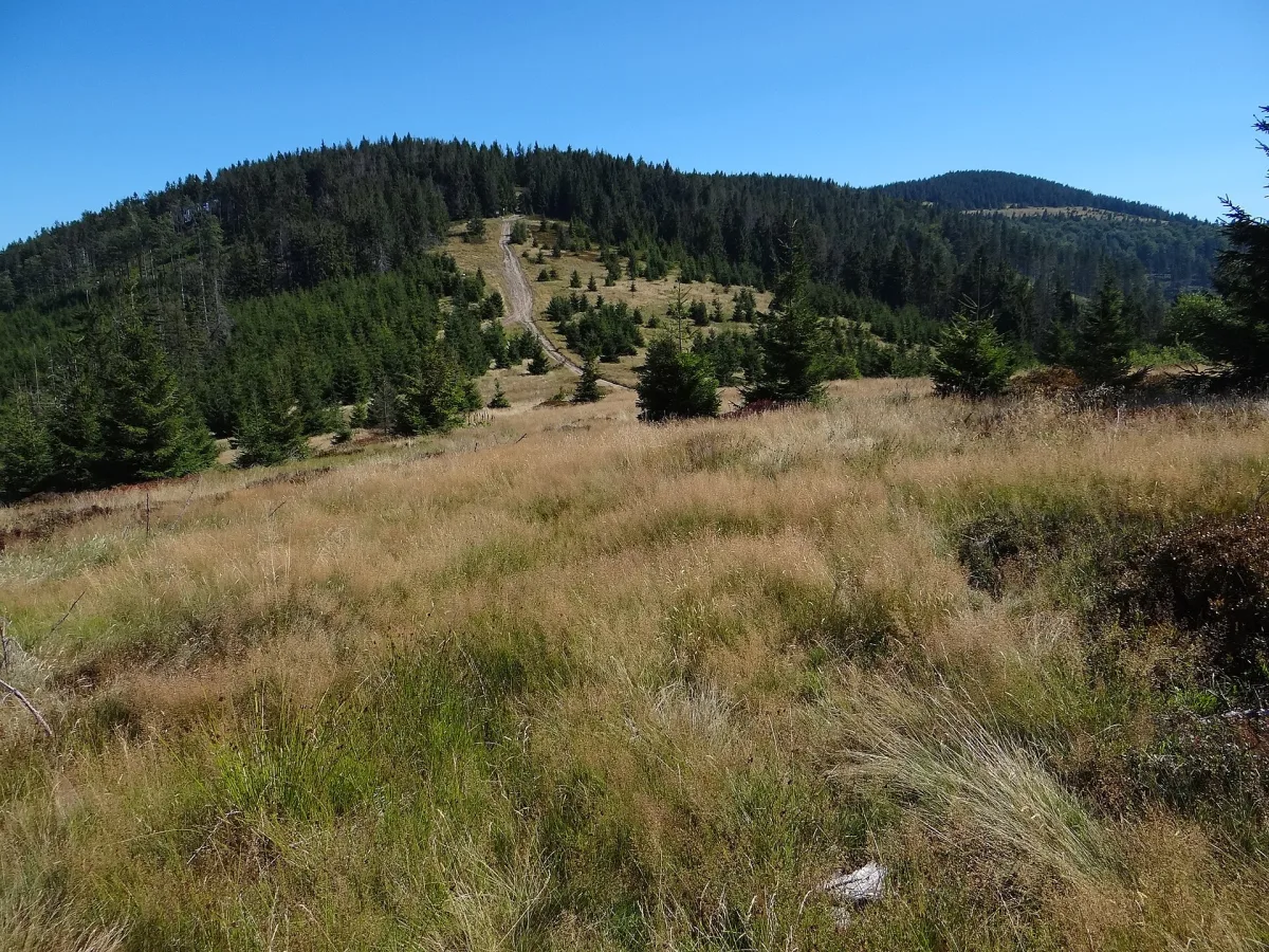
A pastoral clearing below Redykalny Wierch in the Żywiec Beskids, by the yellow trail to Rysianka.
Hala Redykalna is a clearing on the south-western ridge of Redykalny Wierch (1,146 m above sea level), in the Żywiec Beskids, within the village of Złatna in the municipality of Ujsoły. The clearing is more than 500 metres long and 100-150 metres wide, and its average slope is 20-30 degrees.
The name comes from the word redyk, meaning the spring driving of sheep to pasture and their return in autumn. The hala was formerly intensively grazed, so it has the character of a pastoral clearing, not of a vegetation zone.
The clearing is dominated by meadow grass and soft brome, and in the places of former shepherds' huts, on fertilised soil, alpine dock appears. The surroundings are covered with beech and spruce forest. From the western part of the clearing there is a view towards the Silesian Beskids.
A yellow trail runs through Redykalny Wierch from Rajcza via Zapolanka and Redykalny Wierch to Hala Lipowska, Hala Rysianka and Romanka. A black trail links Redykalny Wierch with Hala Boracza. Nearby are the PTTK mountain hut on Hala Boracza and the PTTK mountain hut on Hala Lipowska. The Węgierska Górka - Romanka educational trail also runs through the area of the clearing.

Be the first! Add a comment.
You need to log in to add a comment.
Log in