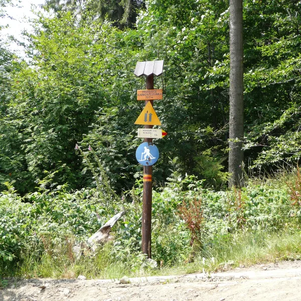
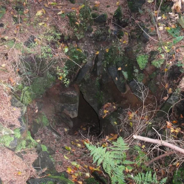
Mountains in Brenna in a nutshell: a hut on Błatnia, a trail junction at the Karkoszczonka pass and a cave on the slope of Stołów.
Brenna lies in the Silesian Beskids, and the three places here show different sides of the hills: a summit with a mountain hut, a pass on the ridge and an underground passage. Each suits a hike for two or a quiet walk alone.
Where to head for the hills in Brenna?
The classic goal is the PTTK Mountain Hut on Błatnia, standing on the summit at nearly 900 m above sea level. German hikers built it in 1926 and it had around 50 beds from the start. The second stop is the Karkoszczonka Pass at 723 m, on the border of Brenna and Szczyrk, where hiking trails meet.
What does the slope of Stołów hide?
Głęboka Cave in Stołów is a landslide cave discovered in 2003, with a documented length of 554 metres and a depth of about 25 metres. It is more of a natural curiosity than a goal for an ordinary walk. For more places in the region see the category mountains in Silesia, and for the rest of the town browse things to do in Brenna.
Frequently asked questions
What mountains are there in Brenna?
Brenna lies in the Silesian Beskids. The best-known spots are Błatnia with its mountain hut, the Karkoszczonka pass at 723 m and the slopes of Stołów with the cave.
Is there a mountain hut in Brenna?
Yes, a PTTK hut stands on the summit of Błatnia. The first building opened on 23 May 1926.

 Mountains