Nature in Wisła: Barania Góra with the river's sources, two reserves, a reservoir in Czarne, Salmopol Pass and a cave near Malinów.
Wisła lies at the source of the river that gave it its name and is ringed by the massifs of the Silesian Beskids. The most interesting natural sites are scattered across the mountains around the town, so each deserves a day or part of one. A wider list of green destinations is in nature in Silesia, and the whole town in things to do in Wisła.
Where to see the source of the river and the reserves in Wisła?
The river's sources and both reserves cluster around Barania Góra. The peak is second only to Skrzyczne in the Silesian Beskids and has a viewing tower, and a strict forest reserve protects its slopes. A second, water reserve covers the headwater streams of the river.
Barania Góra rises to about 1,215 m above sea level, although guides also quote 1,220 m, measured at a survey point. On its western slopes the Vistula sets off. For the question of where the river truly begins, turn to a text on the springs of the Vistula.
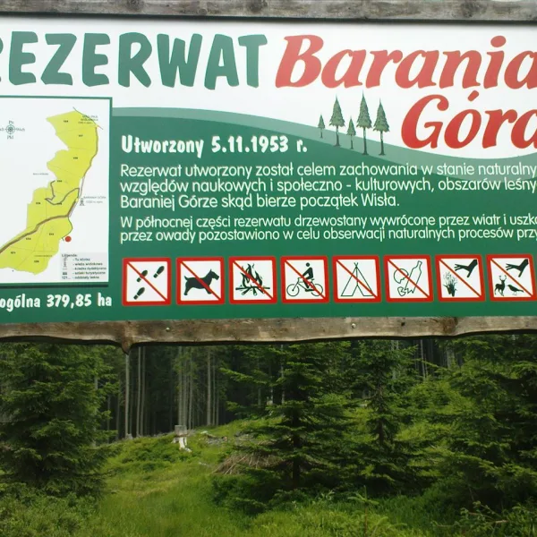
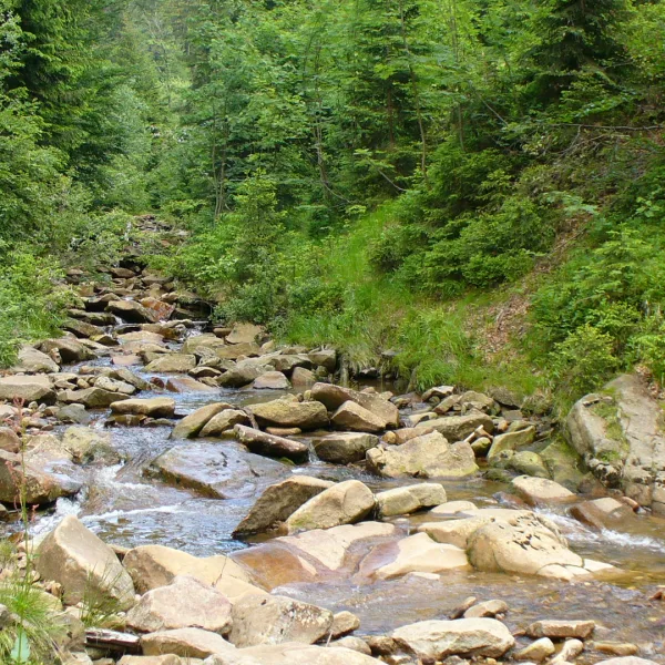
The Barania Góra Nature Reserve was established in 1953 and covers 379.85 ha on the western slopes. It is a strict reserve with the headwater areas of the Czarna and Biała Wisełka. The Wisła Nature Reserve of 1959 occupies 17.61 ha in the centre of the Barania Góra and Skrzyczne range, inside the Silesian Beskids Landscape Park, and protects the streams from which the river forms. How the village turned into a holiday town is told in an article on the summer resort and presidential residence.
Which passes, lakes and caves lie around Wisła?
Beyond the peak and the reserves, plan Salmopol Pass, the reservoir in Czarne and the Malinowska Cave. Each needs its own walk or drive, but together they give a full picture of mountain nature in this part of the region.
Road 942, which links Wisła with Szczyrk and Bielsko-Biała, climbs to Salmopol Pass. Known too as Biały Krzyż and set at 934 m, it is the highest pass of the Silesian Beskids open to cars. Hiking trails converge here, making it a start for many routes.
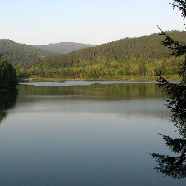
An earth dam of 1973 raised the water where the two Wisełka streams come together, creating Lake Czerniańskie in Wisła Czarne. The reservoir was meant to hold back water and supply drinking water; it contains 4.5 million m³.
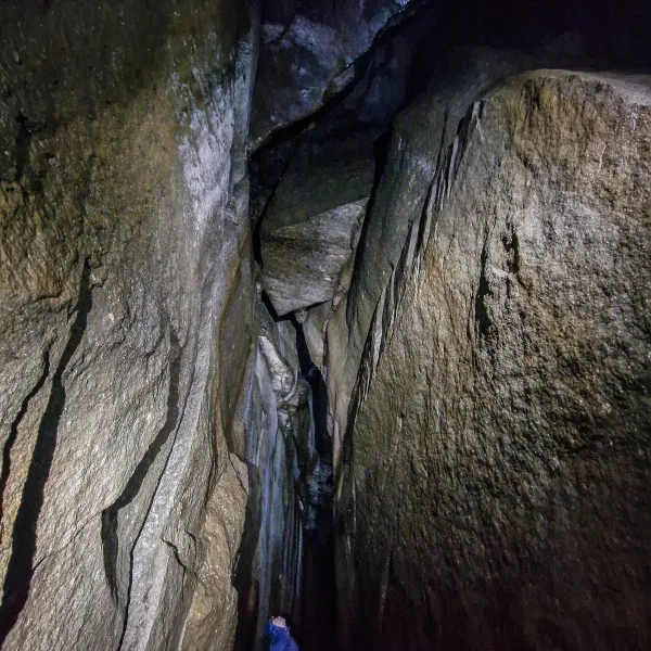
Below the summit of Malinów hides the Malinowska Cave, a crack in the conglomerates of Malinowska Skała formed by a landslide. The entrance is at 1,080 m, and since 2019 the cave has been officially opened to tourists; metal ladders and handholds help at the start.
Frequently asked questions
Where does the Vistula begin?
It starts on the western slopes of Barania Góra, in the headwater areas of the Czarna and Biała Wisełka. The area is covered by a reserve.
Are there nature reserves in Wisła?
Yes, two: the strict forest reserve Barania Góra from 1953 and the water reserve Wisła from 1959, protecting the river's headwater streams.
Can you enter the Malinowska Cave?
Yes. Tourists may visit officially from 2019, and ladders and handholds were fitted at the entrance.
Where is Lake Czerniańskie?
In the Wisła Czarne district, where the two Wisełka streams meet. The dam was built in 1973.

 Mountains