
Hołdunów Trail
Mysłowice
blue hiking trail through Mysłowice, Lędziny and Imielin, with the Wesoła Fala centre along the route
blue hiking trail through Mysłowice, Lędziny and Imielin, with the Wesoła Fala centre along the route
a red trail from Giszowiec through the Murcki Forest and Wesoła Fała to the centre of Mysłowice
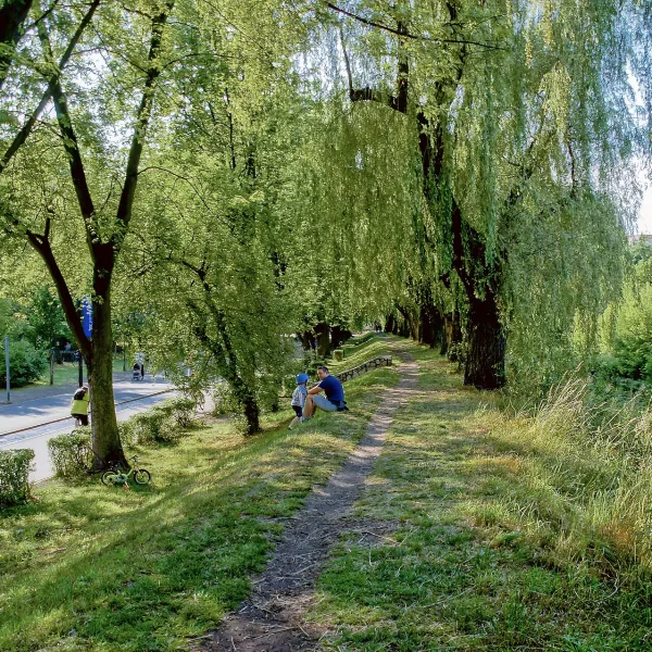 Mountains
red cycle trail along the former partition border, mostly on unpaved roads
Mountains in Mysłowice are in practice three routes: the blue Hołdunów Trail, the red Kantor-Mirski Trail and the Former Borderland cycle route.
There are no high peaks here, but there are marked walking trails and a cycle route that reach beyond the city limits. All three suit a solo walk or a trip for two, and the views add pleasure.
The Hołdunów Trail is about 27 km long and marked blue. It starts in Giszowiec in Katowice, runs through Mysłowice, Lędziny and Imielin, and ends in Jaworzno-Jeleń. PTTK looks after it. Shorter is the red Marian Kantor-Mirski Trail, which leads from Giszowiec through the Murcki Valley, the Las Murckowski reserve and Wesoła Fała to Mysłowice. The start is at the Janina pond.
The Former Borderland Cycle Trail measures 10.2 km but runs entirely through neighbouring Sosnowiec. Signed in 2012, it follows the line of the old partition border, from Tysiąclecia Park to a spot called the Three Emperors' Corner, which a separate article explains. Other addresses of the city are in things to do in Mysłowice, and the region's mountain routes in the category mountains in Silesia.
About 27 km. It leads from Giszowiec in Katowice to Jaworzno-Jeleń via Mysłowice, Lędziny and Imielin.
In Giszowiec, beside the Barbara-Janina leisure centre on the Janina pond. It ends in Mysłowice.