Mountains in Wisła: Barania Góra with the source of the river, the Salmopol Pass, huts on Stożek and Przysłop, and a cave below Malinów.
Wisła lies in the heart of the Silesian Beskids, so trails start almost at the last houses. The six places here are a summit, a pass, three mountain huts and a cave, enough to plan several different days in the hills.
Which mountain near Wisła should you climb first?
Usually Barania Góra, which rises 1215 metres, with only Skrzyczne reaching higher in the whole range. The figure of 1220 metres is sometimes quoted for a survey point on a concrete obelisk. On its western slopes the river Vistula begins its course, and a steel viewing tower stands on the top; a nature reserve protects the summit as well. The boundaries of Wisła and Kamesznica meet exactly at the peak. The beginnings of the river are covered in an article on Barania Góra.
The approach is made easier by the PTTK Mountain Hut at Przysłop, at 951 metres on a clearing over the Czarna Wisełka. Here three routes up to the summit finish and a nature trail starts. The first building on the clearing, a hunting lodge of Archduke Frederick Habsburg, was built in 1897.
Where can you stop on the ridges and passes?
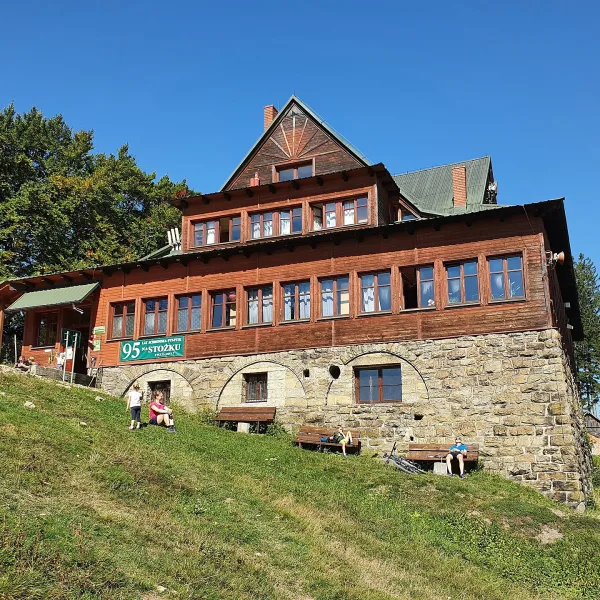
On Stożek Wielki, just below the summit, stands the PTTK Mountain Hut Stożek, opened in 1922 at Turystyczna 19. It is the oldest Polish hut still standing in these mountains, set at 957 metres, close to the Czech border.
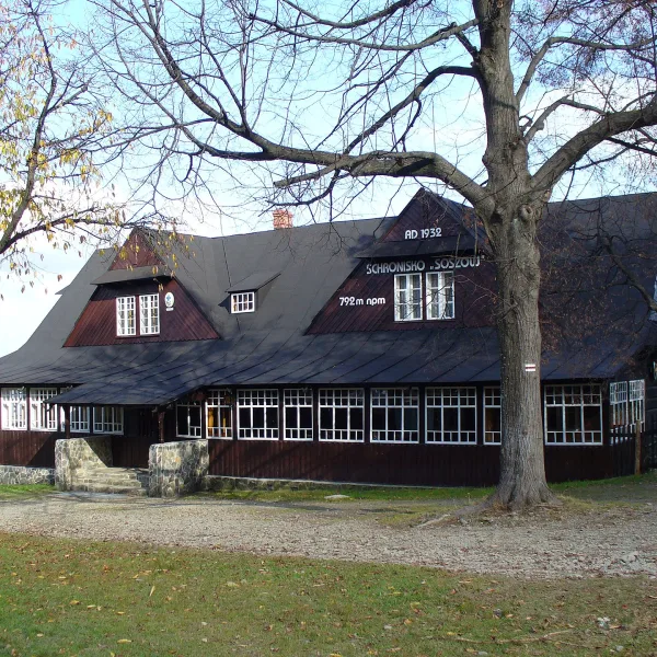
The privately run Mountain Hut on Soszów Wielki, dating from 1932, stands about five hundred metres from the top, at roughly 792 metres, where several paths cross, among them the Main Beskid Trail. Paweł Polok opened it, with beds for forty guests.
Those who prefer to drive will find the Salmopol Pass, also called Biały Krzyż. It lies at 934 metres and carries voivodeship road 942 to Szczyrk and Bielsko-Biała. There is a car park, an inn, a ski lift and a junction of trails. The skiing background is covered in articles on the slopes of Wisła and Ustroń and on Szczyrk and the Żywiec region.
What can you see underground?
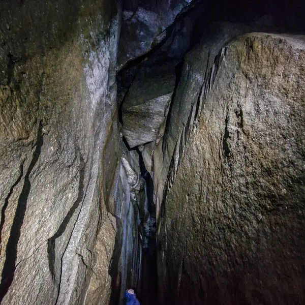
The Malinowska Cave is a fissure cave formed by a landslide below the summit of Malinów, with its entrance at 1080 metres. It has been officially open to visitors since 2019, and metal ladders and handholds help on the steep parts. The opening measures 2.5 by 0.6 metres, and beyond it run two passages of narrow fissures. It is a route for people who do not mind tight spaces.
More places nearby are gathered among the attractions of Wisła and in the list of sport and recreation in Wisła, and for a rainy day among the museums of Wisła. Mountains across the region are covered in the roundup of mountains in Silesia.
Frequently asked questions
How high is Barania Góra?
It measures 1215 metres, and only Skrzyczne rises higher in the Silesian Beskids. The river Vistula begins on its western slopes.
Which hut is the oldest?
The PTTK hut on Stożek, opened in 1922, is the oldest Polish mountain hut still standing in these hills.
Where do the trails to Barania Góra start?
Near the PTTK hut at Przysłop, three routes up the mountain finish and a nature trail starts.
Can you enter the Malinowska Cave?
Yes, it has been officially open since 2019. Metal ladders and handholds make the entrance easier.

 Mountains