Trails in Katowice number seven PTTK routes, from the short Wesoła Fala Trail to the 35 km Żwakowski Trail that ends in Tychy.
The choice covers walks through city parks, routes through woodland on the southern side and long crossings of the whole conurbation. It suits anyone who wants to match a route to the time and fitness they have. Routes from across the whole voivodeship sit under trails in Silesia, while the Katowice overview covers every other kind of place.
Which trail in Katowice suits a short walk?
Three routes work best for a short outing: the Wesoła Fala Trail at roughly 2.7 km, the Park Trail (about 4.2 km) and the Murcki Valley Trail (6.8 km). Each can be walked in a single afternoon.
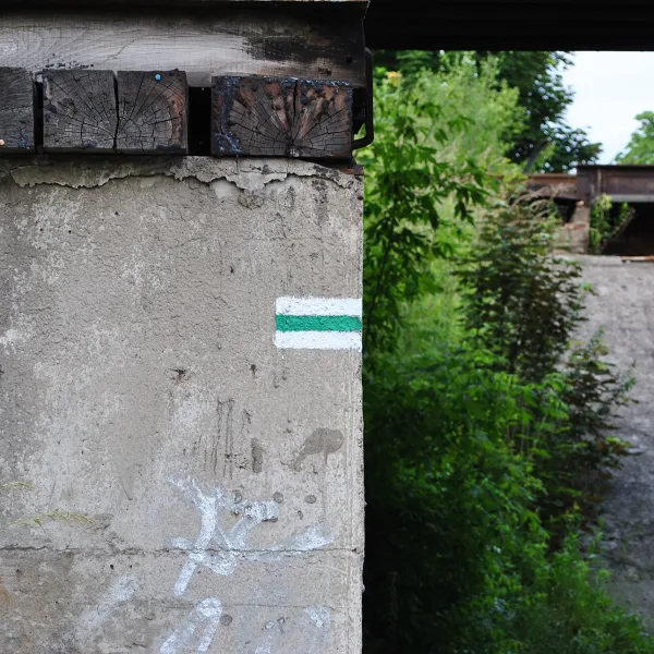
The Wesoła Fala Trail has green markers and runs from the Murcki Valley in Murcki to the Wesoła Fala centre in Mysłowice. It is so short that it often serves as a link between longer routes, because both of its ends are trail junctions. The Park Trail is marked in black and joins Kościuszko Park, beside the church of St Michael the Archangel, with the Katowice Forest Park, passing the Zgrzebnioka estate and Muchowiec on the way. It also ties together the main trails of the city. The Murcki Valley Trail starts at the Bolina leisure centre, runs through Giszowiec and Stara Wesoła and ends in the Murcki Valley.
Which route crosses the city and its surroundings?
For a full day, choose the blue Katowice Walking Trail, the black Ochojec Trail or the black Żwaków Trail. They run from roughly seventeen to thirty-five kilometres and link Katowice with neighbouring towns.
The Katowice Walking Trail is about 24 km long. It begins in Chorzów, in the Silesian Park of Culture and Recreation beside the PTTK tourist house, runs through the park with the Silesian Planetarium and then through Dąb, Koszutka and the city centre. It ends on Hamerla, by Trutowisko. The Ochojec Trail covers 17-18 km from Ochojec to Lędziny. You reach it from the Katowice Ochojec railway station, and it follows a floristic nature reserve, then the Murcki Forests, the Płone Bagno ecological site and Kamienna Góra. The Żwaków Trail starts at Katowice Piotrowice station and ends 35.5 km later in Tychy-Paprocany, crossing Żwaków, Panewniki with its basilica, Mikołów and several districts of both cities. It is enough for one very long day or two shorter stages.
Is there a multi-day trail starting in Katowice?
Yes, the 25th Anniversary of the PTTK Trail was laid out as a loop with green markers, roughly 115 km in length. Its start and finish both fall in the Silesian Park, Chorzów.
The loop leads in turn through Katowice, Ruda Śląska, Jaworzno, Sosnowiec, Dąbrowa Górnicza, Będzin, Siemianowice Śląskie and Chorzów. Along the way lie Saint Dorothy's Hill, the Grodziec Forest and the Pogoria reservoirs.
Frequently asked questions
What is the shortest route in Katowice?
On length, the Wesoła Fala Trail wins: it measures roughly 2.7 km and leads from the Murcki Valley to a leisure centre that already lies in Mysłowice.
And the longest?
The most kilometres belong to the loop of the 25th Anniversary of the PTTK Trail, about 115 km. Among routes that run from one point to another, the longest is the Żwaków Trail at 35.5 km.
Who looks after these trails?
PTTK runs all seven routes. The markers are a coloured stripe on a white background: green, blue or black.
Can I reach the start of a trail by train?
Two routes begin at a station: the Ochojec Trail at Katowice Ochojec and the Żwaków Trail at Katowice Piotrowice.

 Mountains