Trails in Silesia range from short walks around Katowice to the long Trail of the Eagles' Nests (Szlak Orlich Gniazd).
The selection covers two-hour walks through the forests of the conurbation and multi-day routes across the Jura and the Beskids. Some trails run through old industrial districts, others through nature reserves, shepherds' meadows and former railway lines. Three things decide the choice: length, the colour of the waymarks and the area the route crosses.
Which trail in Silesia should you start with?
For a first outing the short routes work well, because each fits into one afternoon: the Park Trail in Katowice (about 4.2 km), the Nakło Trail to Lake Nakło-Chechło (about 4.9 km) or the Wesoła Fala Trail (about 2.7 km). Anyone who wants mountains should begin with the Silesian Beskids.
Length is the first filter. The Murcki Valley Trail (6.8 km) also stays below ten kilometres. Routes of eleven to thirty kilometres include the August Czarnynoga Trail, the Zygmunt Kleszczyński Trail and the Metallurgists' Trail. Beyond that the multi-day routes begin, and most people walk them in sections.
Which trails cross Katowice and the neighbouring cities?
Most of the short trails gather in the forests south of Katowice and in Mysłowice. Routes within the city itself are collected under trails in Katowice, and near the border with Mysłowice the list of trails in Mysłowice comes in handy.
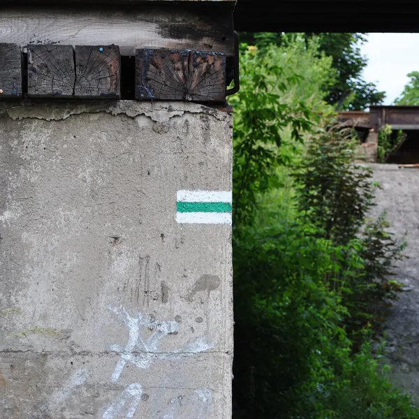
About 24 km long, the blue Katowice Walking Trail is looked after by the PTTK. It begins in Chorzów beside the Tourist House in the leisure park, crosses the centre of the conurbation and ends at Hamerla in the forests south of Katowice. In the Murcki district the Murcki Valley Trail begins: a black route from the Bolina leisure centre through Giszowiec and Stara Wesoła to the Murcki Valley. From the valley the green Wesoła Fala Trail leads on to the Wesoła Fala centre in Mysłowice.
Two more routes start in Giszowiec by the Barbara-Janina centre on the Janina pond. The red Marian Kantor-Mirski Trail passes through the Murcki Valley and the Las Murcki reserve to Mysłowice. The blue Hołdunów Trail, about 27 km, finishes in Jaworzno-Jeleń, after Mysłowice, Lędziny and Imielin. The black Ochojec Trail begins at Katowice Ochojec station, runs beside the Ochojec floristic reserve and reaches Lędziny through the Murcki Forests.
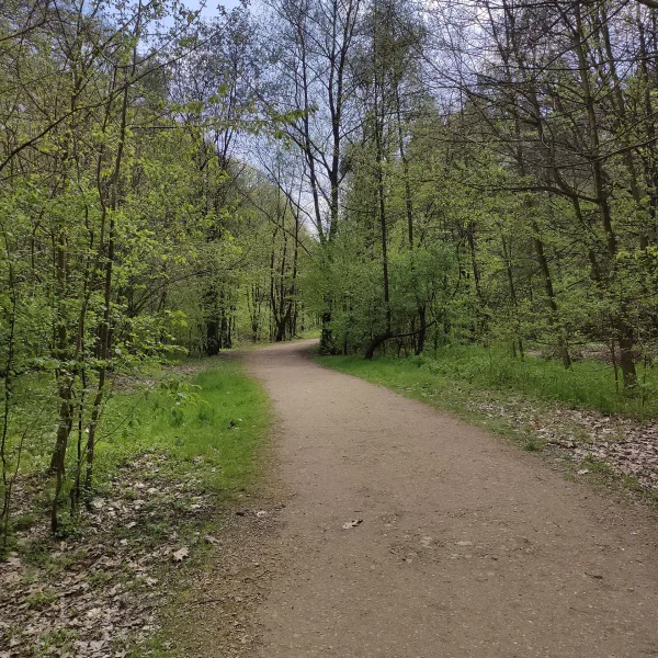
Inside the city, in the Osiedle Paderewskiego-Muchowiec area, lies the Park Trail, a black route from Kościuszko Park via the Zgrzebnioka estate and Muchowiec to the Katowice Forest Park. A longer loop is the green PTTK 25th Anniversary Trail, about 115 km, which starts and ends in Chorzów's Silesian Park and takes in the Dąbrowa Basin (Będzin, Dąbrowa Górnicza, Sosnowiec), Siemianowice Śląskie, Jaworzno, Ruda Śląska and Katowice, including Szopienice-Burowiec. Between Chorzów and Ruda Śląska runs the yellow August Czarnynoga Trail (11.7 km) through urban, forest and park areas.
Which trails show the industrial history of Upper Silesia?
Four routes follow the traces of mines and ironworks: the Upper Silesian Mining History Trail, the Metallurgists' Trail, the Trail of the Beginnings of Metallurgy and the Miners' Trail. Each stops at industrial monuments, so they suit people who would rather see the legacy of earlier generations of workers than viewpoints alone.
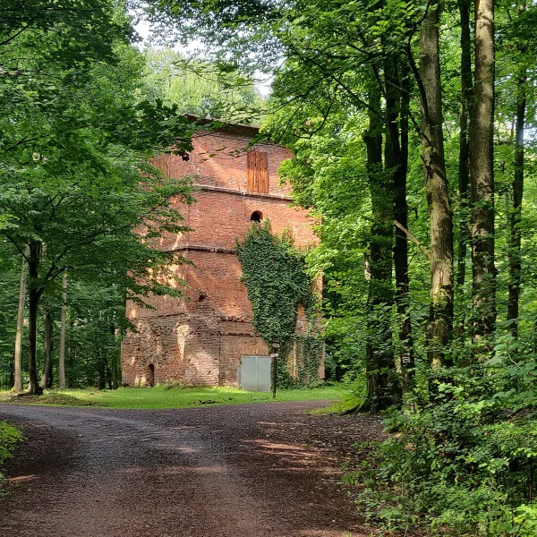
The yellow mining trail is about 100 km long and leads from Łubianki to Rybnik. The black Metallurgists' Trail (18.2 km) starts at Gołonóg station in Dąbrowa Górnicza, climbs the Gołonóg Hill and reaches Sosnowiec via Jamki and Strzemieszyce Wielkie. The blue Trail of the Beginnings of Metallurgy is about 21 km long, links Rybnik with Żory and ends up at the ruins of the Waleska ironworks, where a blast-furnace tower stands. The yellow Miners' Trail (about 26 km) begins in Tarnowskie Góry at the Black Trout Adit, goes by Miasteczko Śląskie and the Nakło-Chechło lake before it finishes at Kolonia Woźnicka.
A shorter counterpart is the yellow trail from Bytom to Zabrze (12 km), which avoids built-up areas and passes Miechowice, the Three Ponds Valley and Rokitnica. A similar character, but in forests, belongs to the green Tourism Centenary Trail (about 143 km) from Rybnik to Tarnowskie Góry, with a stop at the lake in Pławniowice, and to the yellow loop around Gliwice, about 137 km, which begins and ends in Rudy.
Some trails tell the story of the region. The Polish Hussars Trail is a red PTTK route from Będzin to Krzanowice, marked out in 1959, about 154 km long. The Silesian Insurgents' Trail is about 191 km, starts at the station in Bytom and passes places where fighting took place in 1919-1921. The Defenders of the Polish Border Trail (about 61 km) links Zabrze-Makoszowy with Tychy-Paprocany via Ruda Śląska, Mikołów and Orzesze, and the Parachute Tower Heroes Trail (about 39 km) commemorates the defence of Katowice in September 1939 and ends in Chudów. In the north the blue Józef Lompa Trail (about 81 km) starts in Woźniki, and the Polish Minority Schools Trail of 1985 runs from the border at Rakowiec through Chałupki, Tworków and Racibórz.
Which trails cross the Kraków-Częstochowa Upland?
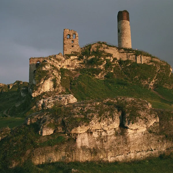
On the Jura the sights are castles, rocks and caves, and the main axis is the red Trail of the Eagles' Nests, 163.9 km long, following medieval strongholds to Częstochowa. The parallel blue Trail of the Jurassic Strongholds (about 152 km) joins fourteenth-century fortresses that the Eagles' Nests Trail does not cover, and begins in Mstów. From Częstochowa along the Warta runs the red Wieluń Jura Trail (about 113 km), a calmer route through forests, fields and meadows rather than to castles.
For a single afternoon there is the green loop of the Cave Dwellers' Trail in the Wodąca Valley, about 10 km long. It passes rocks, caves, a hillfort and the Zegarowe Rocks. The yellow Desert Trail (28.5 km) links Błędów with Ryczów along the edge of the Błędów Desert. Just before Klucze it passes Czubatka (382 m), a viewpoint over the desert. The longest of the woodland routes is the blue Nature Reserves Trail (95.5 km), with seven reserves on the way; it passes Blachownia, Kłobuck and Krzepice.
Where to go in the Beskids: mountain trails and meadows?
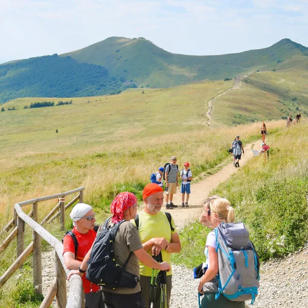
The Silesian Beskids range lies on both sides of the Czech border. The highest peak is Skrzyczne (1,257 m), while Barania Góra (1,215 m) comes second; the Vistula springs from its slope. From Ustroń starts the red Main Beskid Trail, about 496 km, regarded as the longest trail in the Polish mountains; Ustroń is its official starting point, so the Silesian section opens the whole route.
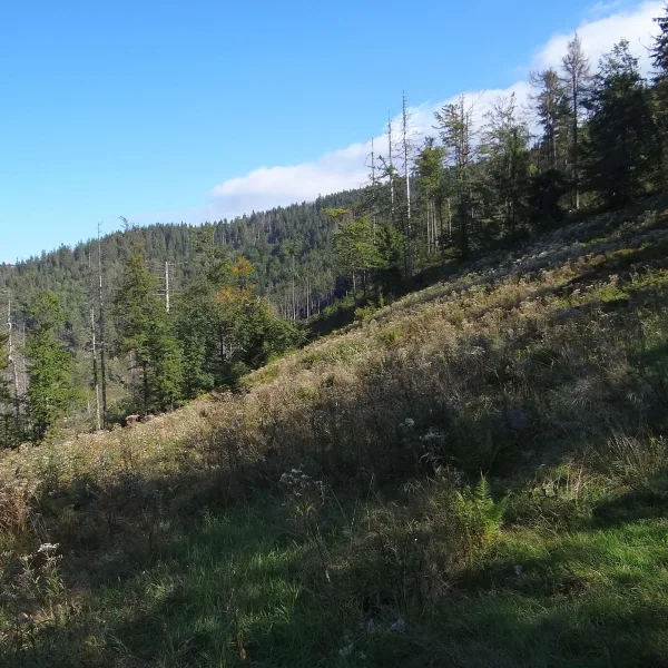
A counterpart for quieter ranges is the red Little Beskid Trail, 137 km, which sets out from Stracona in Bielsko-Biała and crosses areas the Main Beskid Trail bypasses: the Little Beskids and the Beskid Makowski. In the Żywiec-Orava Beskids it is worth a detour to Hala Janoszkowa on Lachów Groń (1,045 m), a former shepherds' meadow. From the clearing you can see the Babia Góra massif and Pilsko. A very different character belongs to Cukiernica Wyżna in Żabnica: a meadow by the path from Rajcza to Hala Boracza that is slowly being overtaken by forest, while the neighbouring Cukiernica Niżna is still grazed.
Where to cycle: forests, the border and the Beskids?
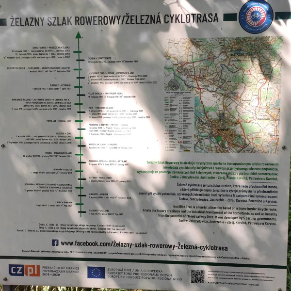
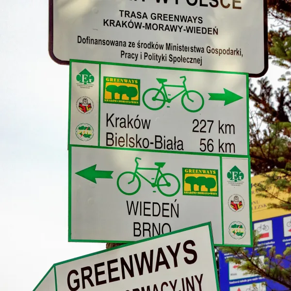
Cyclists have a separate group of routes. The international Greenways route is about 780 km long, and in the Silesian Voivodeship it runs from Bielsko-Biała to Cieszyn, via Ustroń, Wisła and Skoczów, and at Cieszyn the Czech border is crossed on the Friendship Bridge. The loop of the Iron Cycle Route measures 43.1 km, with 25.5 km in Poland and 17.6 km in the Czech Republic, much of it on former railway beds. On the Polish side it passes Gołkowice, Godów, Jastrzębie-Zdrój and Zebrzydowice.
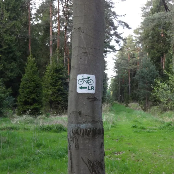
In the north of the voivodeship lies the Leśno Rajza network, built jointly by six municipalities. Its main loop measures about 90 km, and the whole network with feeder routes about 110 km. Waymarks show a green LR symbol, and the route crosses Kalety, Miasteczko Śląskie, Świerklaniec, Woźniki, Koszęcin and Tworóg. In the Tworóg municipality there is also the forty-kilometre Leśno Uciecha loop, marked in orange, following mostly forest tracks. Across the Jura the Eagles' Nests Cycling Trail passes the castles, red-marked and about 189 km long. And in Sosnowiec a blue Zagórski Forest cycle trail (5.4 km, route no. 467) runs through Zagórze and Morze Czarne.
How to match a trail to fitness and season
Short urban trails suit every season and any outing without preparation, since they can be broken off at a stop at any moment. Longer routes, such as the loop around Gliwice or the Silesian Insurgents' Trail, are best split into stages according to transport and accommodation. On mountain trails the weather matters: in the Beskids the huts along the routes help spread an expedition over several days.
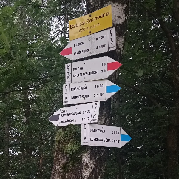
Entry to most of the trails described is free, and the waymarks are usually painted by PTTK branches. Before heading for the Cave Dwellers' Trail, though, it is worth checking the rules for entering the area. With small children a short route near a city park is the sensible choice, while fit walkers can join sections of several trails into one longer excursion.
Frequently asked questions
What is the longest trail in Silesia?
Among the routes listed here the longest is the red Main Beskid Trail at about 496 km, with its official start in Ustroń. Of the loops the longest is the PTTK loop from the Silesian Park at about 115 km, and among the Jura routes the Trail of the Eagles' Nests (163.9 km).
Which trails in Silesia are the shortest?
The shortest is the Wesoła Fala Trail (about 2.7 km), followed closely by the Park Trail in Katowice (about 4.2 km) and the Nakło Trail (about 4.9 km). All three can be walked without special preparation.
Are there cycling routes in Silesia?
Yes. The cycling routes include Greenways with a Silesian section through Bielsko-Biała and Cieszyn, the Iron Cycle Route on the Polish-Czech border, the Leśno Rajza network, the Leśno Uciecha loop, the Eagles' Nests Cycling Trail and a short route in Sosnowiec.
Which trails lead past industrial monuments?
The Upper Silesian Mining History Trail, the Metallurgists' Trail, the Trail of the Beginnings of Metallurgy and the Miners' Trail follow the traces of mines and ironworks. The last of them starts at the Black Trout Adit in Tarnowskie Góry.
Where to begin hiking in the Silesian Beskids?
A good start is a section of the Main Beskid Trail from Ustroń or the climb to Skrzyczne, the highest peak of the range. Mountain huts along the way help spread the hike over several days.

 Mountains